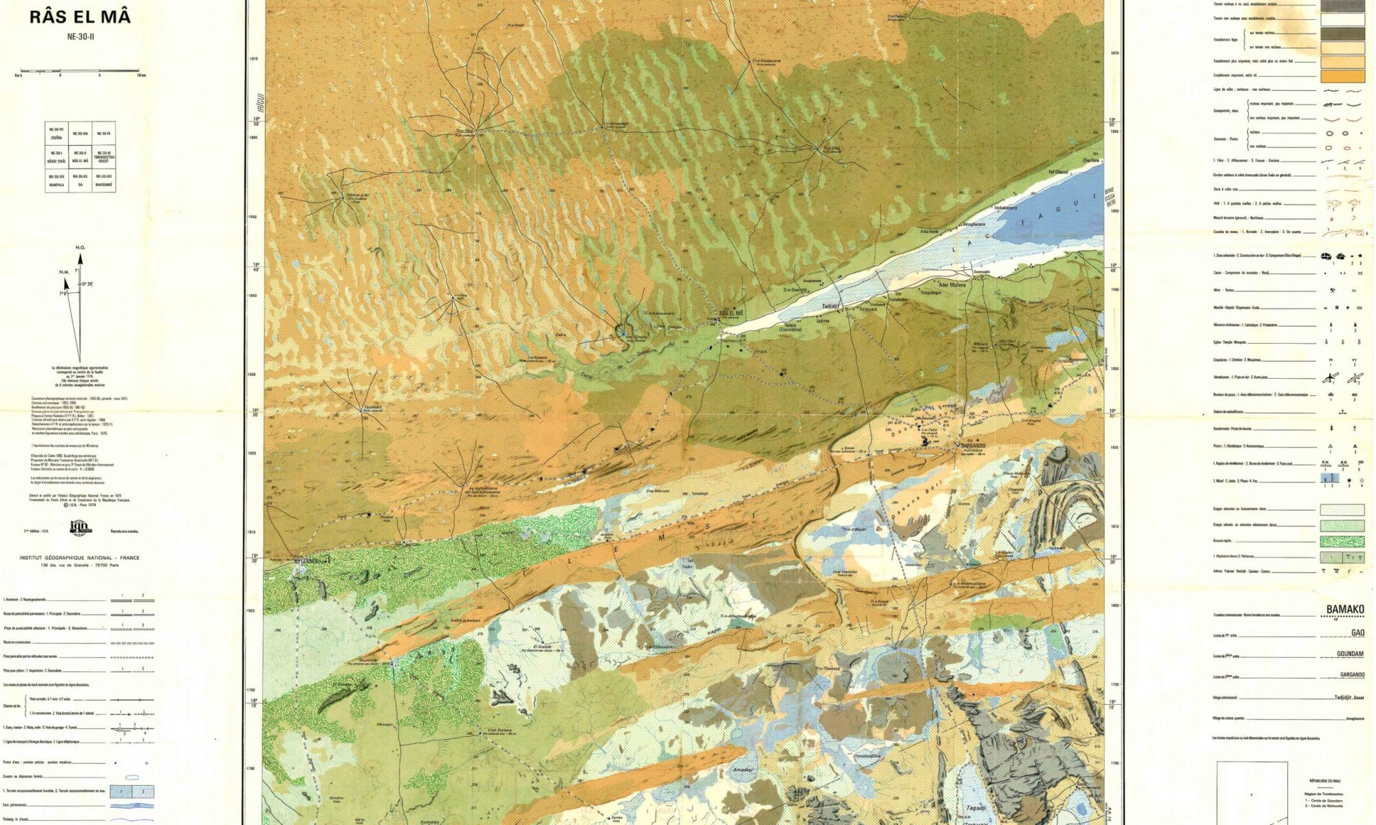
This new and very personal atlas explores the geography of Mali, through the 1:200,000 maps produced by the French National Geographic Institute. Each map serves as a starting point for a reflection on the nature of geographical space.
Taken together, these commentaries show the variety of the Sahara and of the Sahel and the many ways in which societies have contributed to shaping these extraordinary regions.
To facilitate access to the maps, Mali has been divided into four main regions: North, Adrar des Ifoghas and Ménaka, Inner Niger Delta and Gourma, and West.